


Marine spatial plans provide guidance for decision makers and of ocean space using a public, participatory approach to plan for the ocean and address multiple objectives: ecological, economic and social.

A Seychelles Marine Spatial Plan Atlas was created starting in 2014 and was used to support the MSP process and zoning design. The purpose of the MSP Atlas was to create an opportunity for stakeholders to share information and view spatial data for Seychelles for a transparent and evidence-based MSP. The maps provide information and data and were used to visualize the marine ecosystem and human uses and activities. Click here for detailed information about the Atlas »
Latest News
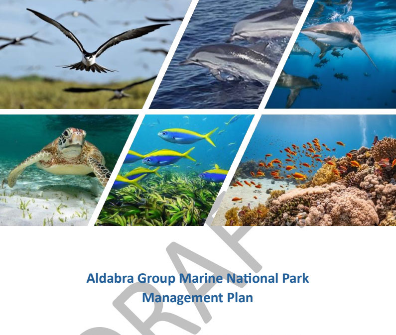
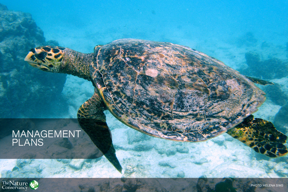
Public Review of draft Aldabra Group MNP Management Plan
The Ministry of Environment, Climate, Energy and Natural Resources (MECENR) invites the public to review the draft Management Plan for the Aldabra Group Marine National Park. The Plan sets the […]
Cabinet approves SMSP governance mechanism
Cabinet approved the establishment of the Seychelles Marine Spatial Planning Agency (SMSPA) and authorised the start of the legislative process to create the enabling law. Cabinet noted that the Agency […]
Livestream SMSP Final Ceremony Fri 27 June
SMSP Final Ceremony Join us as we celebrate the culmination of our Marine Spatial Planning journey together! Date: 27 June 2025 Livestream on YouTube Channel: 2:00 – 3:00 PM, local […]
What’s Popular

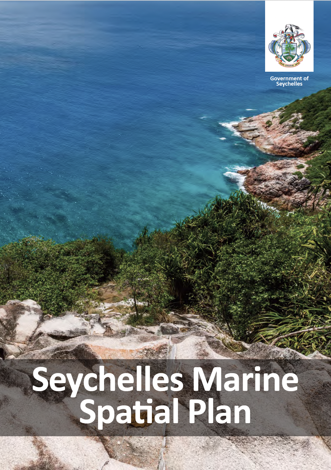
Approved in March 2025, the Plan is being implemented by the Seychelles Marine Spatial Plan Agency.

Costing estimates and financing options for implementing more than 441,000 km2 of marine protection areas in Seychelles.

Spatial analysis of 20 years of sea surface temperatures to visualise climate change risks to coral reefs.
")
National policy to support the SMSP implementation, research, monitoring, evaluation and learning.
At a Glance
1.35
Million square km
Exclusive Economic
Zone in Seychelles
11
Marine sectors and
civil society – more
than 150 participants
100
Data layers for the
ecosystems, uses and
activities
324
Meetings,
consultations and
workshops
32.6%
Marine Protection
Areas – more than
441,456 km2 of ocean