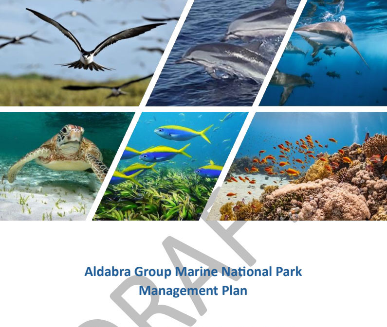
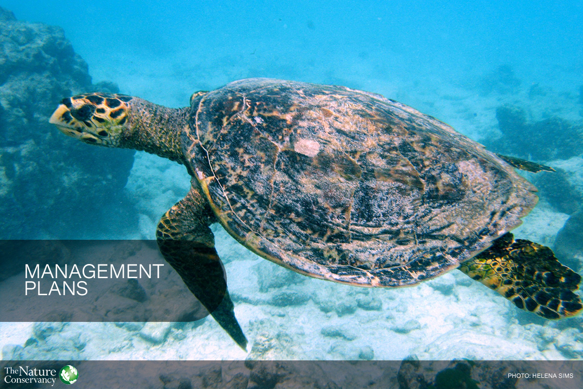
Public Review of draft Aldabra Group MNP Management Plan
The Ministry of Environment, Climate, Energy and Natural Resources (MECENR) invites the public to review the draft Management Plan for the Aldabra Group Marine National Park. The Plan sets the […]
Cabinet approves SMSP governance mechanism
Cabinet approved the establishment of the Seychelles Marine Spatial Planning Agency (SMSPA) and authorised the start of the legislative process to create the enabling law. Cabinet noted that the Agency […]
Livestream SMSP Final Ceremony Fri 27 June
SMSP Final Ceremony Join us as we celebrate the culmination of our Marine Spatial Planning journey together! Date: 27 June 2025 Livestream on YouTube Channel: 2:00 – 3:00 PM, local […]
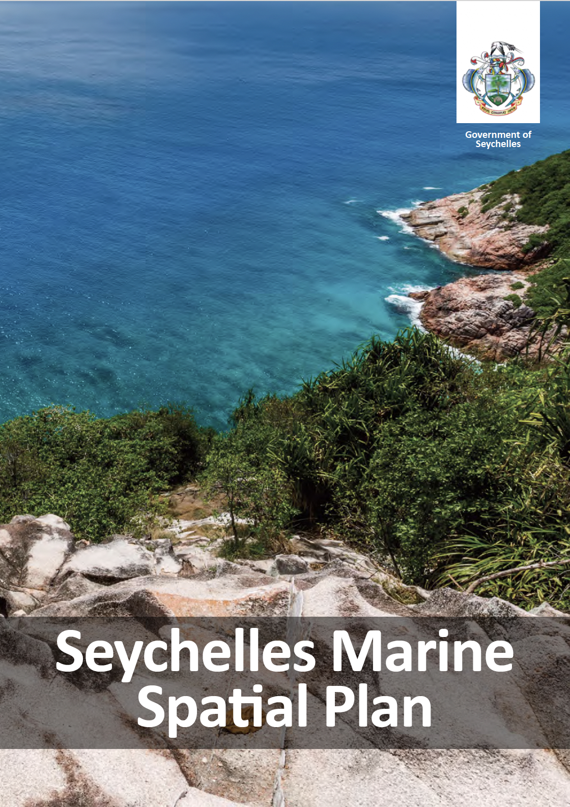
Seychelles Cabinet approves Marine Spatial Plan
Cabinet has approved the Seychelles Marine Spatial Plan as required under the Nature Reserves and Conservancy (Seychelles Marine Spatial Plan) regulations (S.I. 18 of 2025). The approval of the MSP […]
NRC Seychelles Marine Spatial Plan Regulations signed into law
On behalf of the Ministry of Agriculture, Climate Change and Environment (MACCE), the SMSP Initiative shares the news that the new Nature Reserves and Conservancy (Seychelles Marine Spatial Plan) Regulation […]
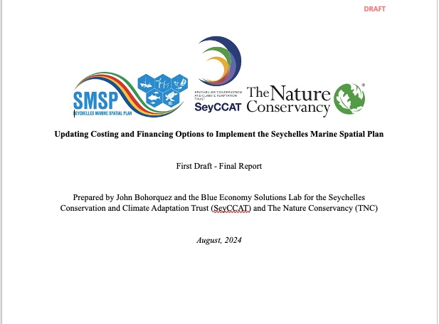
SMSP Costing Analysis 2.0
The Ministry of Agriculture, Climate Change and Environment (MACCE), in collaboration with SeyCCAT and with support from the Seychelles Marine Spatial Plan Initiative, is pleased to share the final report […]
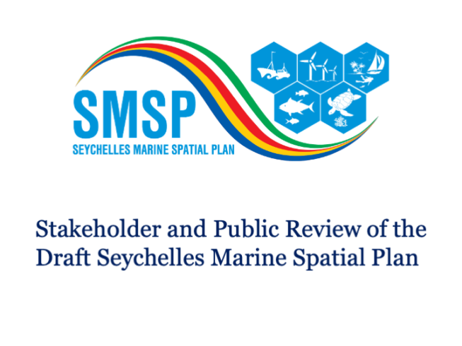
Draft Seychelles Marine Spatial Plan – Stakeholder and Public Review
Ministry of Agriculture, Climate Change, and Environment invite stakeholders and the public to review and comment on the DRAFT Seychelles Marine Spatial Plan document during a 28-day review period from […]
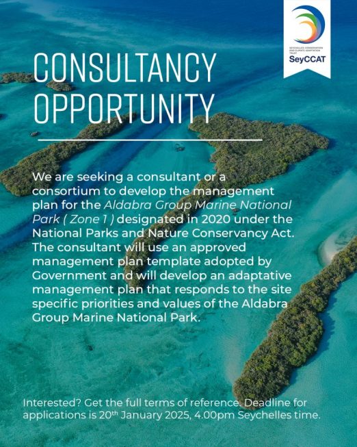
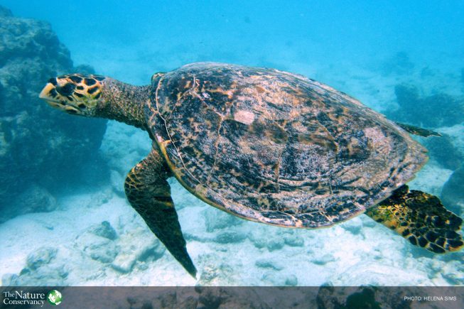
Consultancy: Aldabra Group Marine National Park
SeyCCAT and the Seychelles Marine Spatial Plan Initiative seek a consultant or a consortium to develop the management plan for the Aldabra Group Marine National Park (Zone1), designated in 2020 […]
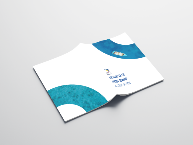
Seychelles Debt Conversion Case Study
The Seychelles debt conversion story is now available in a publication “The Seychelles debt-for-nature swap: A Case Study”. Published in March 2024 and authored by Didier Dogley, the project was […]

Consultancy: 5-year strategy for TNC in Seychelles
A consultancy is being sought to support the development of a five-year strategy for The Nature Conservancy (TNC) in Seychelles. The consultancy will lead in researching, developing, and presenting scenarios […]
SMSP costing analysis 2.0 workshop
The SMSP Initiative and SeyCCAT hosted a full day in-person workshop for an expert consultancy on updating the costing analysis for the MSP and 30% marine protection areas. Dr. John […]
Job Opportunity – Project Coordinator!
SeyCCAT invites qualified applicants for the position of Project Coordinator, who will support the SMSP core team in steps to finalise and implement the Seychelles MSP. This is a 2-year […]
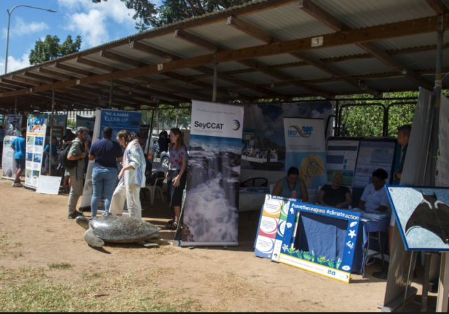
Seychelles Ocean Fair on Ocean’s Day
In honour of Ocean’s Day, participate in the Seychelles Ocean Fair, A Sustainable Ocean, an initiative of the Danny Faure Foundation. Events on 7-8 June 2024. The Ocean Fair is […]
Consultancy for SMSP Capacity Needs Assessment
SeyCCAT in collaboration with the Ministry for Agriculture, Climate Change and Environment (MACCE) and the Seychelles Marine Spatial Plan (SMSP) initiative seeks to recruit a consultant (or a team of […]
Helena Sims recently elected to WiMS Steering Committee!
Following the recent April 2024 election process for the next WiMS (Women in Marine Science) Steering Committee, WIOMSA announced the results and welcomed their new WiMS leadership team! Country Representative […]
SeyCCAT BGF8 deadline 27 May
One week left to submit your BGF8 application The application window for the Blue Grants Fund 8 will close at 5 p.m. on Monday, May 27, 2024. Please make sure to […]
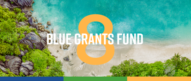
SeyCCAT Blue Grants Fund 8
The Seychelles Conservation and Climate Adaptation Trust (SeyCCAT) has launched the eighth call for proposals under the Blue Grants Fund (BGF), a unique opportunity for you to make a significant impact. […]
Consultancy for costing and financing options to implement SMSP
SeyCCAT in collaboration with the Ministry for Agriculture, Climate Change and Environment (MACCE) and the Seychelles Marine Spatial Plan (SMSP) initiative seeks to recruit a consultant to update the Costing […]
Public Consultation Draft Management Plan – Denis Island Marine
The Green Island Foundation (GIF) invites the public to review and comment on a draft management plan for the Denis Island Marine Sustainable Use Area. The Green Island Foundation (GIF) […]
Consultancy for Seychelles Blue Carbon Policy
Request for Quotes (RFQ). The Commonwealth Secretariat is supporting the Government of Seychelles with short-term technical assistance to develop its blue carbon policy. The Government of Seychelles is seeking a […]
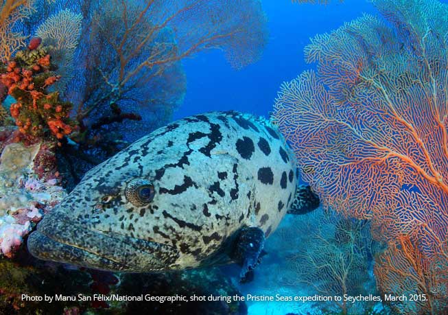
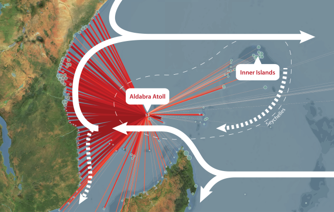
Coral superhighway in the Indian Ocean
Despite being scattered across more than a million square kilometres, new research has revealed that remote coral reefs across the Seychelles are closely related. Using genetic analyses and oceanographic modelling, […]
WIO Coral Connectivity app
The islands of Seychelles are wrapped in coral reefs, living rainbows in fantastical shapes of Gothic cathedral spires and delicate lace fans. These reefs send out coral larvae that are […]
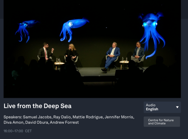
Live from the Deep Sea
World Economic Forum is live this week from Davos, Switzerland. Live from the Deep Sea – Wed 17 January 16:00-17:00 CET time zone https://www.weforum.org/events/world-economic-forum-annual-meeting-2024/sessions/live-from-the-deep-sea Below the ocean surface is a […]
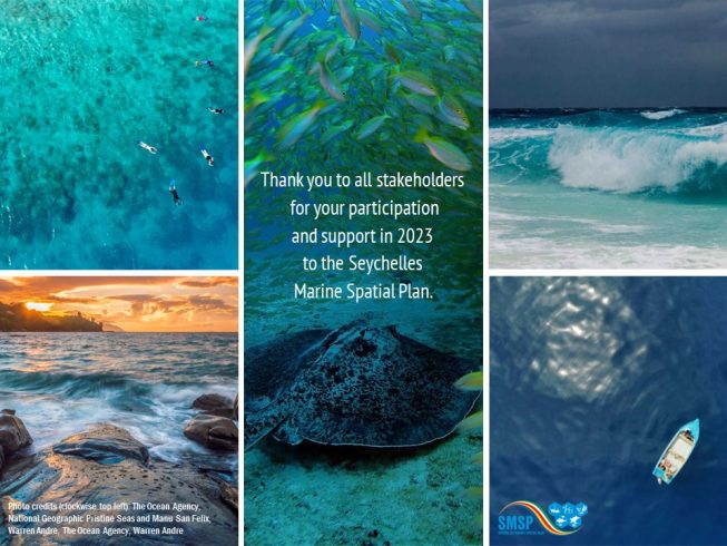
Happy Holidays 2023
As we close the chapter on another year of planning, we would like to take a moment to thank all stakeholders for your contributions throughout the year. We wish to […]
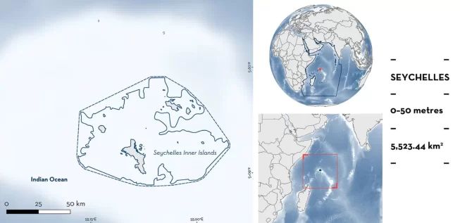
IUCN designates Seychelles Important Shark and Ray Area
The International Union for Nature Conservation (IUCN) has recognised the Seychelles Inner Islands as an Important Shark and Ray Area (ISRA). The Seychelles Inner Islands ISRA has an area of […]
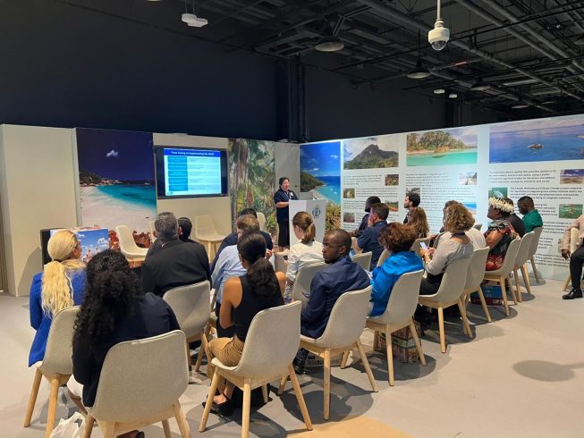
Seychelles MSP at COP28
The Seychelles Pavilion featured a panel discussion, Q&A and networking session at the COP28 event in Dubai. Seychelles Marine Spatial Plan: Successes, Challenges and Lessons Learned. Wednesday 6th December 2023 […]
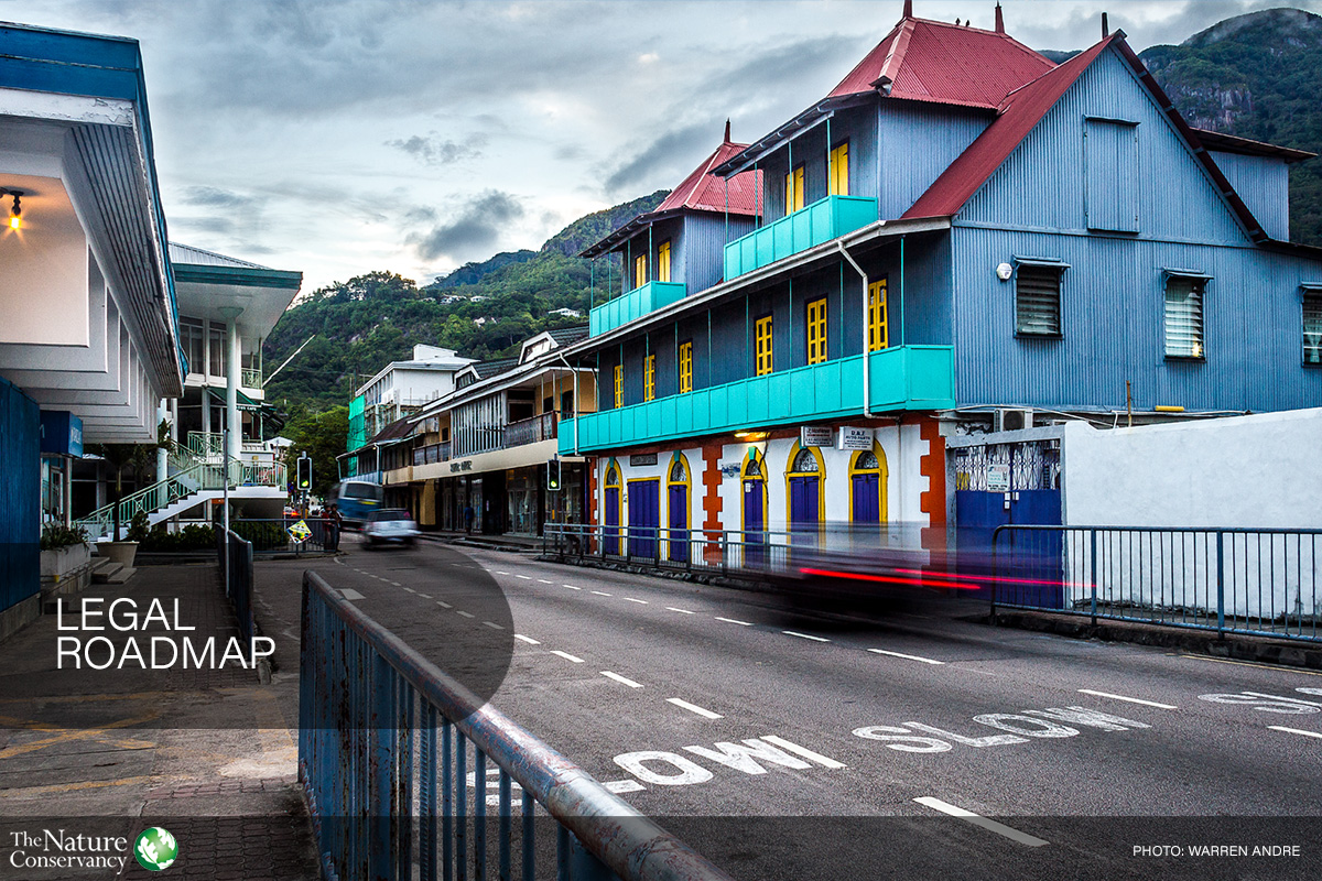
Legal Roadmap
In January 2023, with financial support from SeyCCAT, the SMSP has received a report “Towards Effective Implementation of the Seychelles Marine Spatial Plan – Legal Considerations and Roadmap”. The purpose […]
Public Consultation EXTENDED ONE WEEK – Sustainable Use Area DRAFT management plans
C2O and MACCE have extended the period for online consultation for the three Sustainable Use Area DRAFT management plans by ONE WEEK. Consultation will now close at 11:59pm on Monday […]
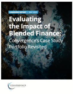
Seychelles Case Study 2.0
An update on the Seychelles debt-for-nature swap is provided by Convergence in their March 2023 publication on the impact of blended finance. Convergence case studies are a knowledge product designed […]
Public Consultation Draft Management Plans
The Ministry of Agriculture, Climate Change and Environment (MACCE) invites the public to review and comment on draft Management Plans for three Sustainable Use Areas. Stakeholders and the public are […]